Many years ago I spent 2 weeks on Kauai, and I can attest to the truth of a popular T-shirt at the time which read: “Kauai, It’s Not For Wimps.” The island offers a cornucopia of scenic sites for hiking, swimming, snorkeling, diving and paddling, and I did my very best during that stay to see and do it all. But of course, one can’t. So, I was delighted to find a hike offered by the Holland America shore excursion desk that I had not done: traversing a ridge line high up in the Kapa’a range that offered an opportunity to view Mt. Wai’ale’ale’s crater remnant.
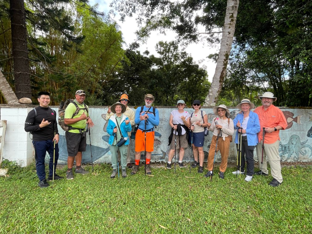
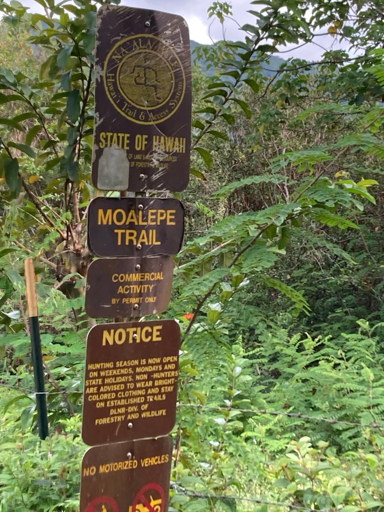
Our guides met us on the pier at 8:30am. The van ride from the pier to the trailhead took about ½ hour and was all uphill to an elevation of just under 2,000 feet. The hike would encompass two trails: first the Kuilau Trail on the leeward side of the mountain and then the Moalepe Trail on the windward side.
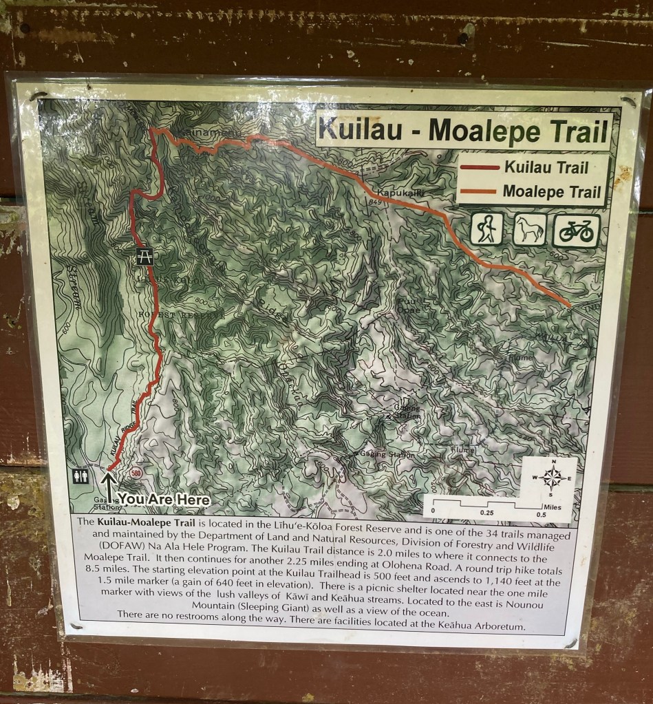
The Kailau Trail had formerly been a service road for pineapple plantations on the hills, then later for cattle ranchers who moved in when the pineapple growers moved to Lanai’i. The last of the cattle ranchers moved on about 30 years ago. This trail was all uphill: we would gain 1,000 feet along it. We had been advised to bring rain gear, but we encountered no rain during the hike, the last having fallen two days prior. Still, we were warned to be vigilant about the trail’s Hawaiian Ice: fine red clay that when the least bit damp is as slick as ice and can land you on your ass in an instant. We all managed to stay upright except for one lady who took a bad fall face forward – thankfully nothing broken.

As we steadily ascended, we passed through a series of close, shaded spaces and open spaces with vistas.
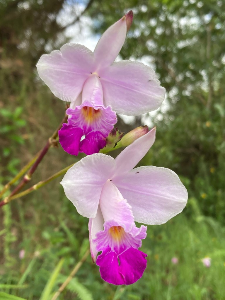
Purple ground orchids, pink Mellowstone bush, Sleeping Plant (retracting when touched) and wild Raspberries emblazoned the trail.
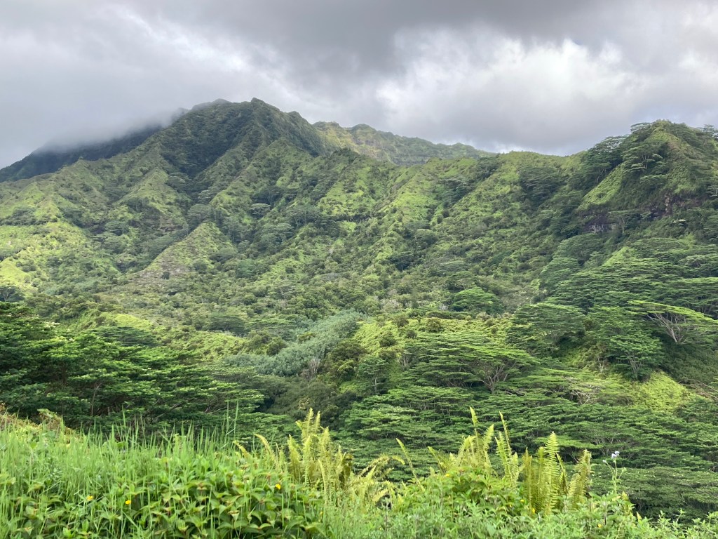
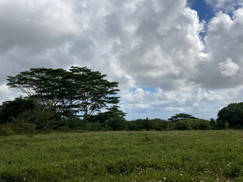
Eventually we came to a gorgeous lookout across a wide valley to a towering parallel ridge line. Totally pristine and untouched for as far as the eye could see!
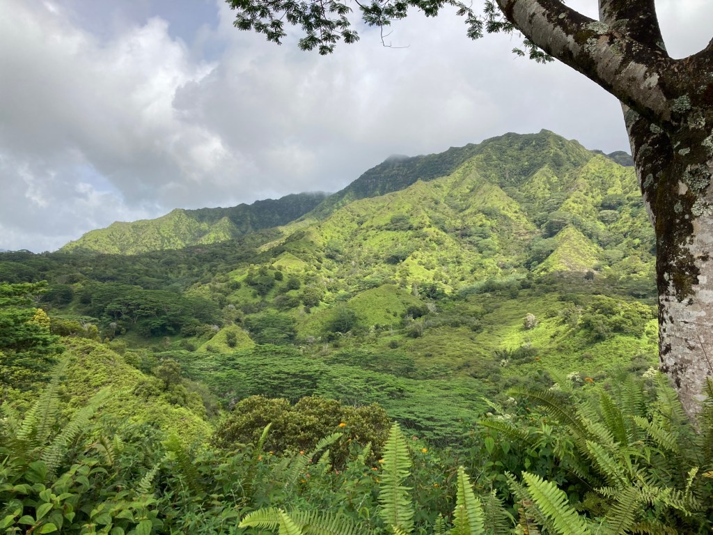
We soon arrived at our highest elevation: a plateau from which we would begin a series of switchbacks to descend the windward side of the ridge. Once we met up with the MoalepeTrail, conditions were significantly wetter, with a corresponding change in the flora. We hiked beneath fernlike canopies of colossal Albizia trees, the very ones that inspired the trees in Avatar, right down to their white, fluffy flowers.
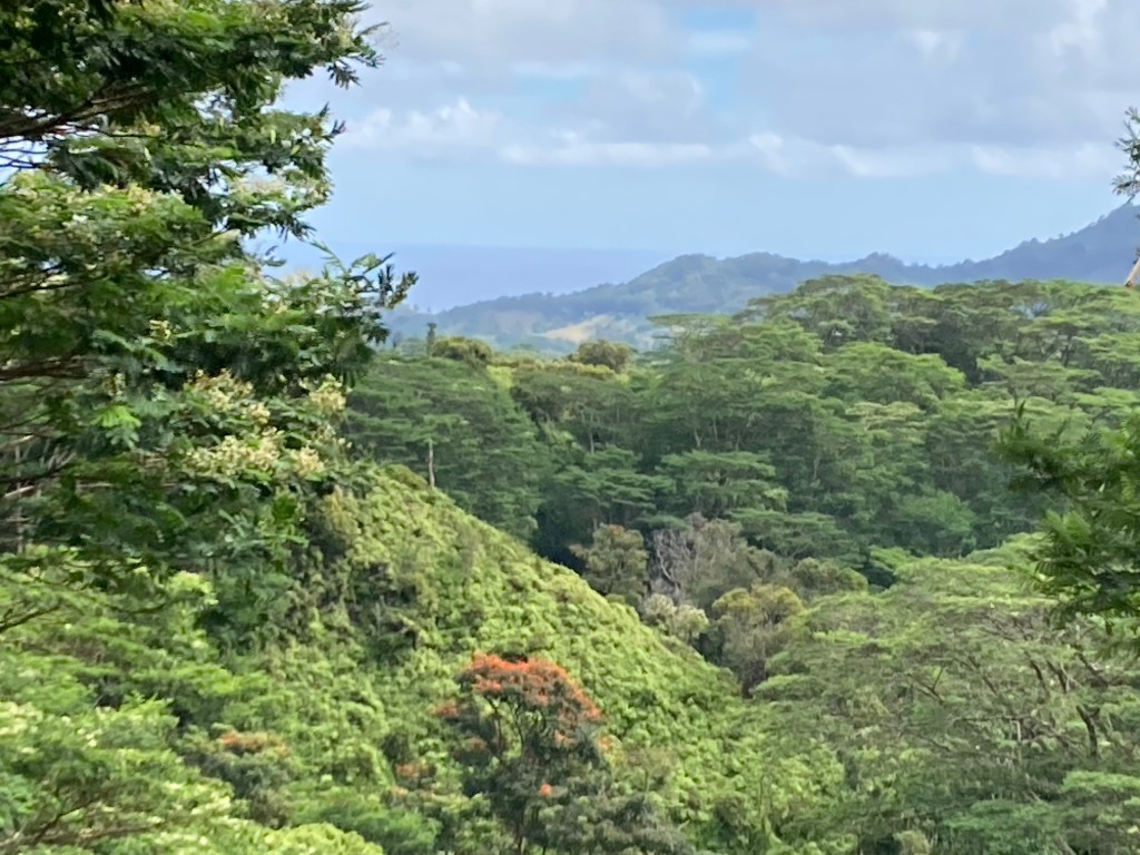
We peered through lookout points offering a view down mountain to the coast and the deep blue sea beyond.
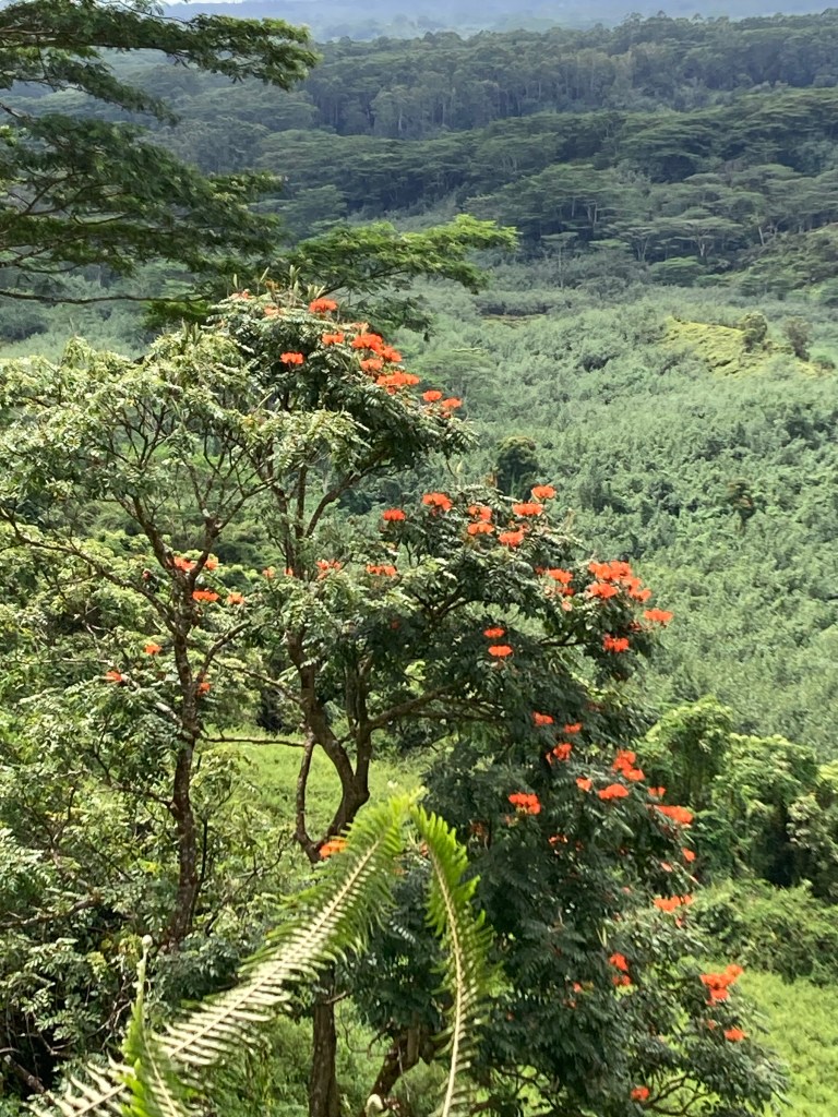
We smelled the wonderful scent of Golden Ginger and admired the African Tulip trees aflame in neon orange.
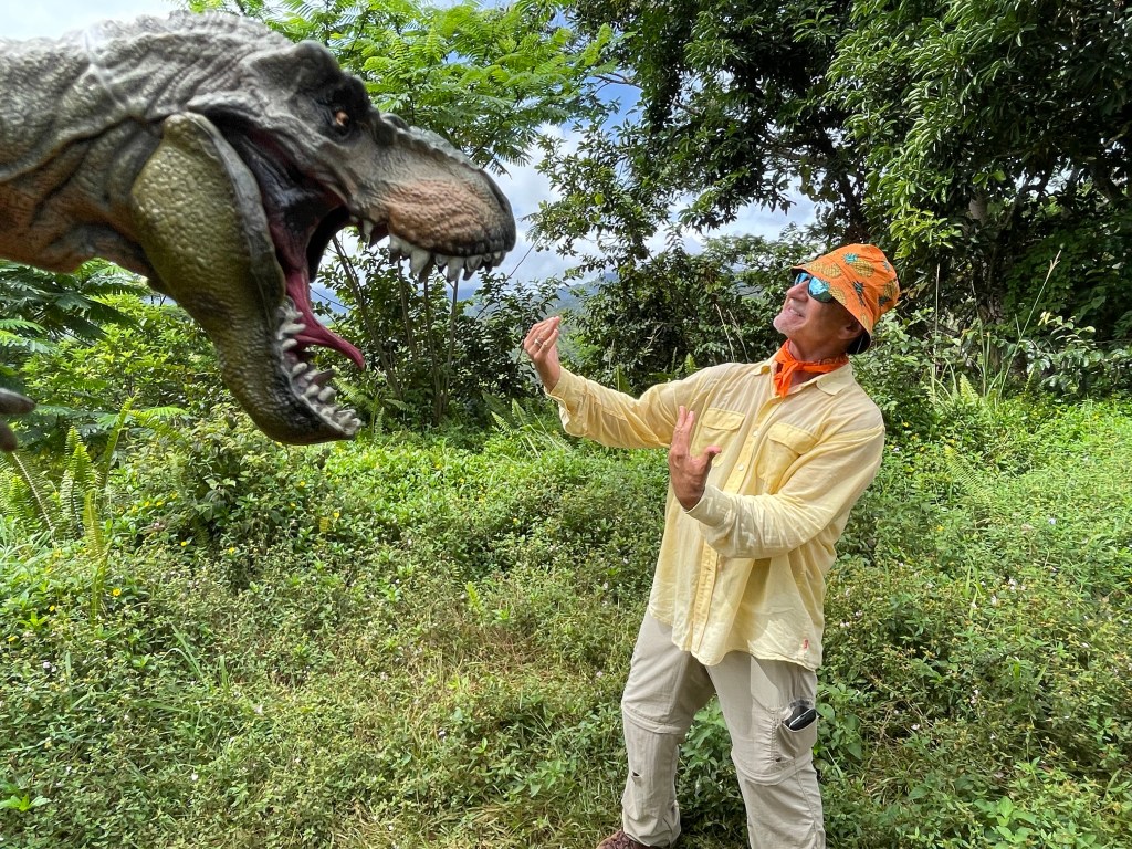
We obtained photographic evidence that dinosaurs may actually remain on the island! LOL
And yes, finally we got a rare look at the remnant crater of Mt. Wai’ale’ale, the wettest spot on earth. (If you don’t take this hike, the only way to see it is to spend hundreds of dollars for a quick fly-by in a helicopter.)
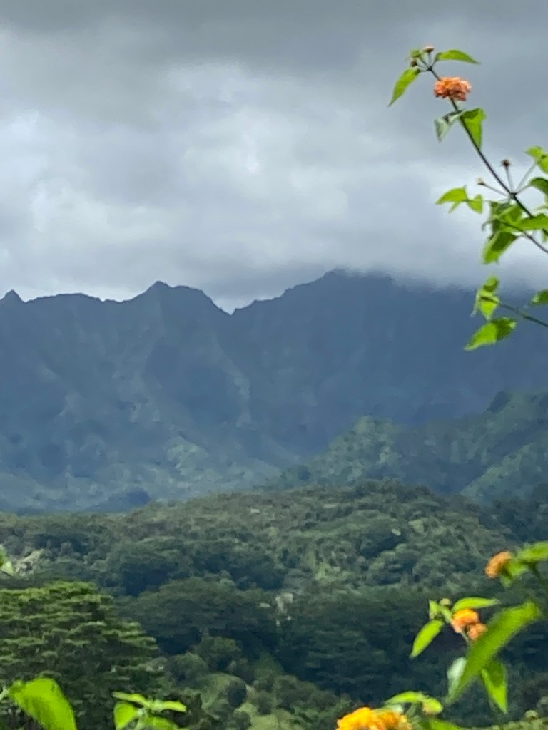
At 7,000feet high, Mt. Wai’ale’ale attracts condensation from any and all directions as fronts blow over the Pacific. (And as you can see from my photo, its peak is rarely visible.) Its ability to “make it rain” has been the primary source of Kauai’s erosion over many millennia: the source that carved Kauai into the grand, ruggedly beautiful island that it is today.
Soon we were at the end of the trail where we enjoyed some local bananas and guavas. The bananas were called “Ice Cream” bananas. Why that name, no one seemed to know. They were thick and wide – maybe 2 inches. Thick peel. Flesh slightly coral in color. Complex flavor: banana, of course, but with hint of peach or mango, and a lemon high note. I’d show you a photo if one had survived the onslaught of 10 cruise passengers who hadn’t been fed in four hours!!
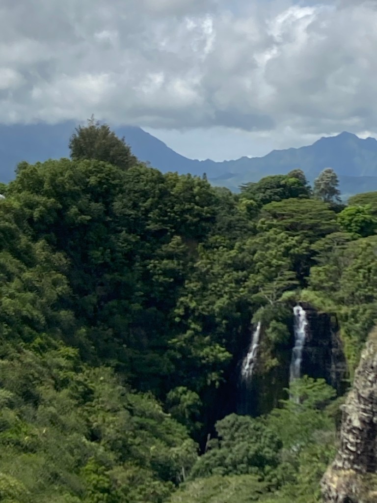
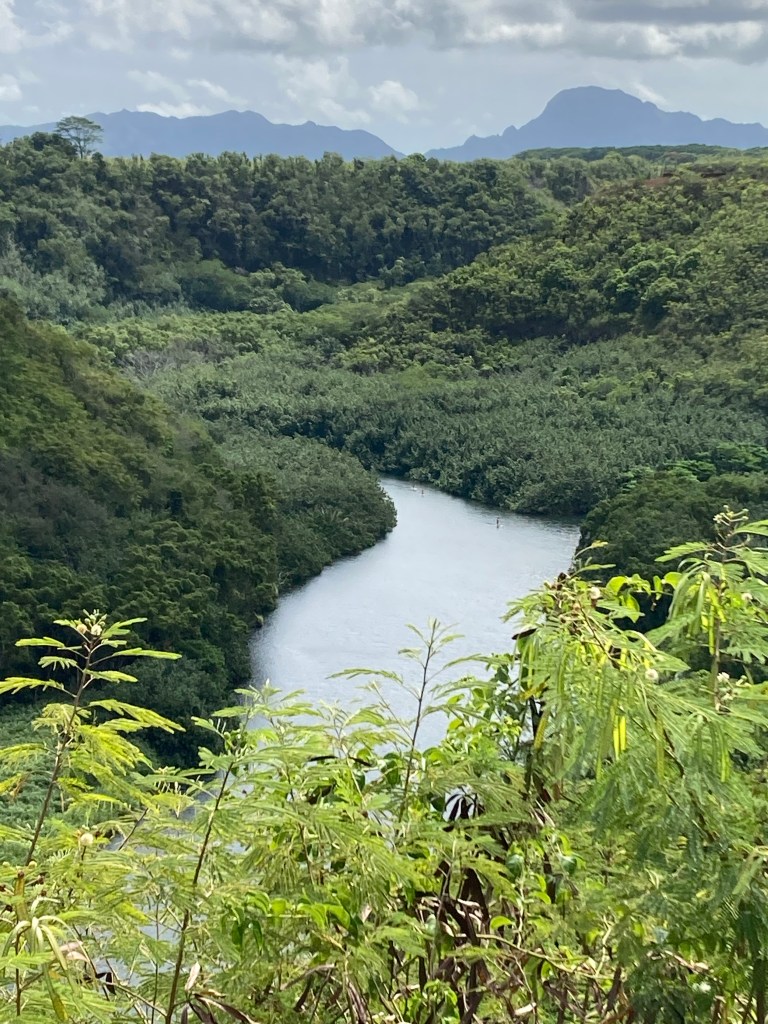
We stopped at Kapa’a Falls enroute back to the ship. Just one of the many waterways and waterfalls flowing throughout Kauai from the source at Mt. Wai’ale’ale – upper left corner of the photo. Mahalo Mt. Wai’ale’ale!!
And Aloha to you all.

Leave a comment