Note: I’m having trouble getting the post from our first stop in Hawaii, Hilo, to post. Hope to drop that patch in soon.
The original itinerary of our cruise included a day in Lahaina. In lieu of visiting Maui, we added a day of coastal scenic cruising which proved to be a wonderful salve to our regrets fornot visiting the charred city. (Note: We’ve raised $9,000, to date, by passing the basket onboard, which will be donated to residents displaced by the fire.)
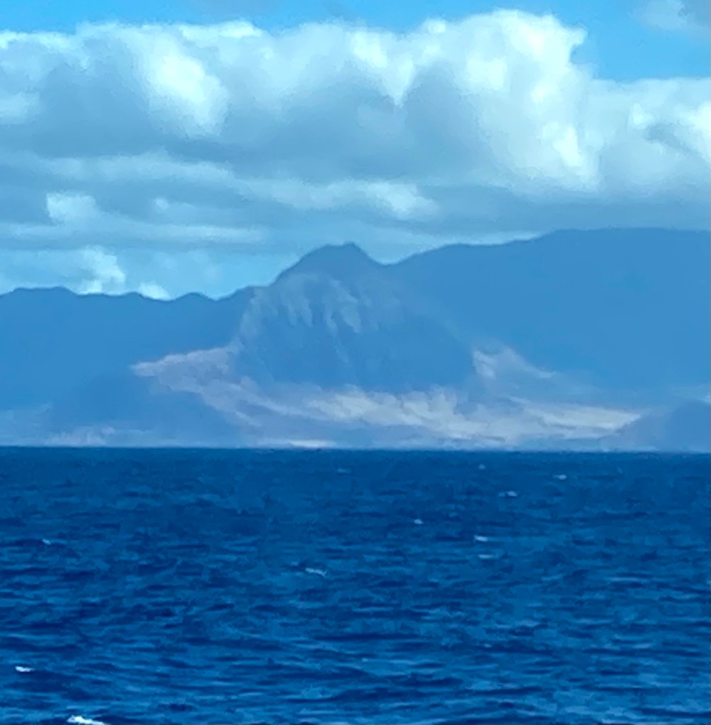
After departing Hilo on Sunday evening, we cruised northwestalong the coast of the Big Island until we rounded itsnorthernmost point. Then southwest through the Big Island/Maui channel. (I could see the lights of Big Island’s west coast from the port side of the ship before I turned in.) Once south of Maui, in the dark of night, we headed northwest towards Kaui. When I awoke Monday morning, I could see the many unmistakable towers of Waikiki in the far distance from my window on starboard side. In a couple of hours, we passed Wai’anae, Makaha and the western tip of Oahu.
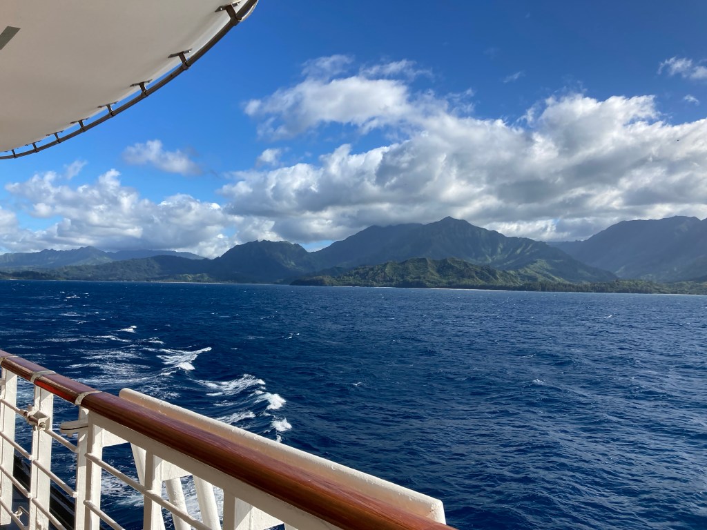
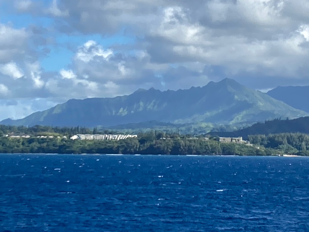
Around 1:30 we approached the southern coast of Kauai.
Taking a counterclockwise course, we soon headed north, then west, around the Kauai’s south-east point. All along the coast we could see long sandy beaches with high mountain ranges just a few miles inland. One of these, Mt. Wai’ale’ale, is the wettest spot on earth, getting 400 to
700 inches of rain per year! Moving west along the north shore, we could soon see the long,green velvet lined plateau (actually the golf course) of the Princeville Resort and Hanalei Bay beyond.
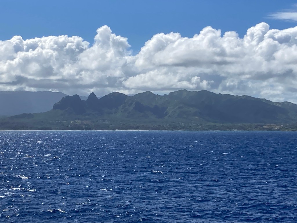
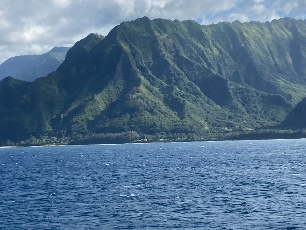
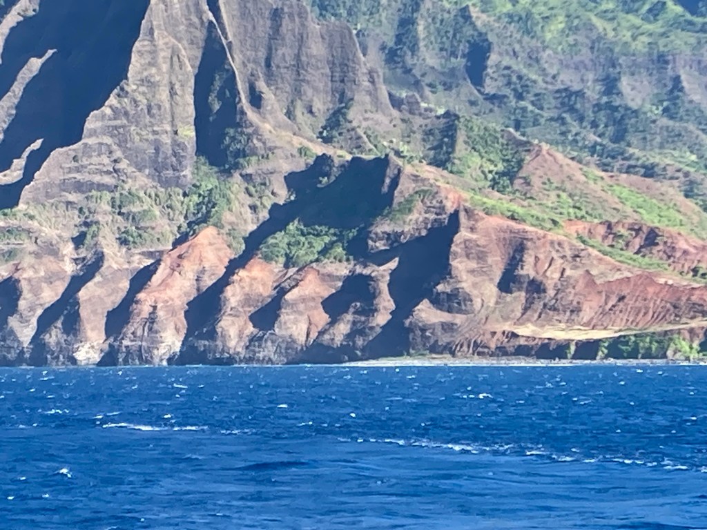
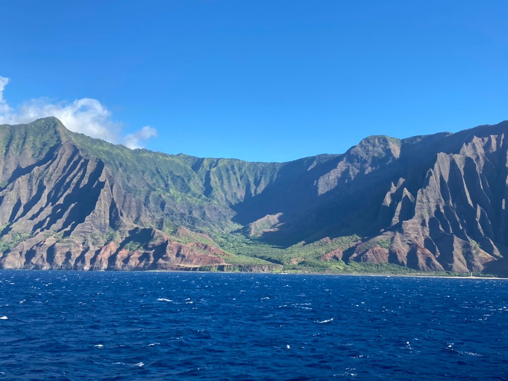
Just after Hanalai, the storied Na Pali Coast begins.

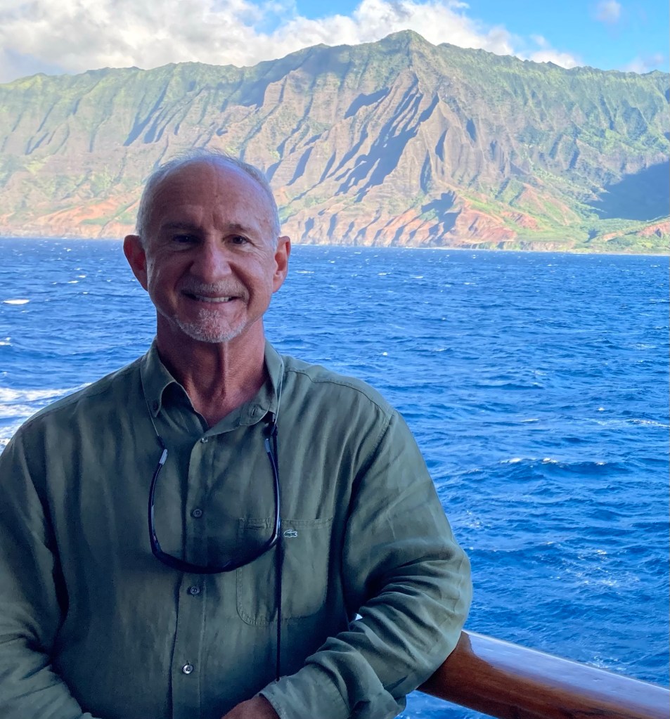
As the crow flies, a 24 mile long undulating series of cliffs, some up to 4,000 feet high, that defines Kauai’s north-western corner. Today, the cliffs are often referred to as the Jurassic Coast, as many scenes from the original Jurassic Park were filmed here. There are several tours which visit abandoned sets from the film and rumors abound that some of the “extras” may still live on the island.
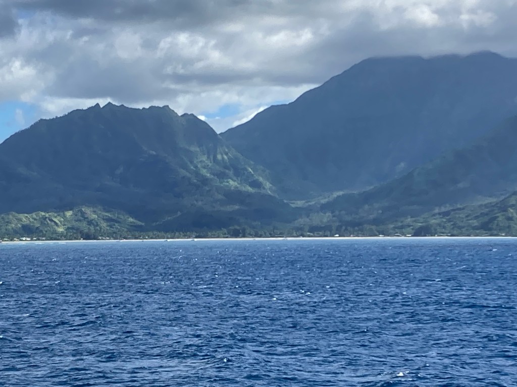
At this point, I’ll shut up and let the photos speak for themselves. Keep in mind when looking at them that the closest the captain could safely get to the shore was 1 mile away. You should be able to zoom in on my pics to get some better detail.
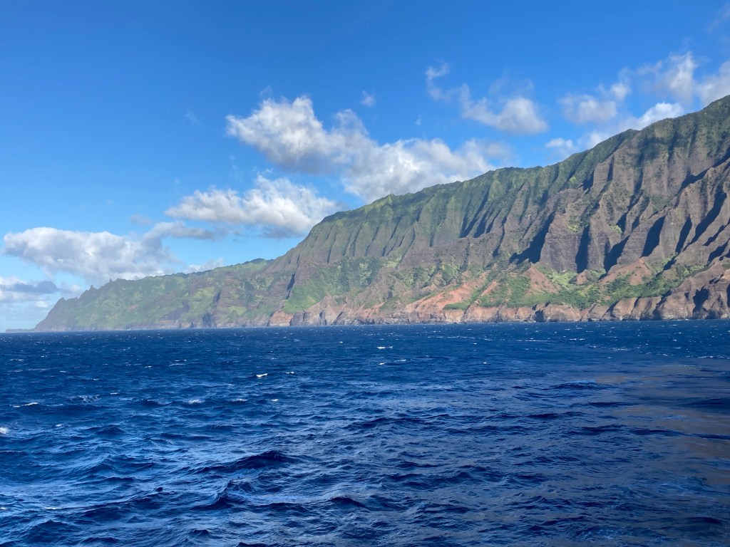
At the halfway point of the Pali Coast, conditions allowed captain Paul Adams to swing the 781 foot long Volendam 180 degrees to starboard so the folks on the “right” side of the vessel could have a look. The experience gave new meaning to “playing in the ocean.” Responsibly, yes. Meticulously, yes. But by definition: Gleefully. There wasn’t a soul onboard, guest or staff – of any rank or station – without a sense of wonder in their mind and a smile of approval on their face as Captain Adams gave the Volendam time away from her linear mission to just be and to bask in the majesty of the Na Pali coast. WOW.

So after wowing and wooing us into his palm on the helm, Captain Adam’s encore was to swing starboard for another mesmerizing 180 degrees thereby putting us back on our westerly course. Bravo to Captain Adams and to Holland America for providing such an exceptional experience.
During the captain’s showmanship, I was able to get a photo of the famous camping beach at the end of the Na Pali trail. The beach is the halfway point of the Na Pali Coast, yet it is 21 miles from the trail head. How, you might ask, can the halfway point be 21 miles when the coast is only 24 miles long?
ANSWER: To hike the cliffs and get to the 12-mile halfway point, you must add 9 miles of hiking up and down and weaving in and out to avoid falling off a shear cliff into the ocean. 12 miles linear + 9 miles of lacelike meandering = 21 miles.
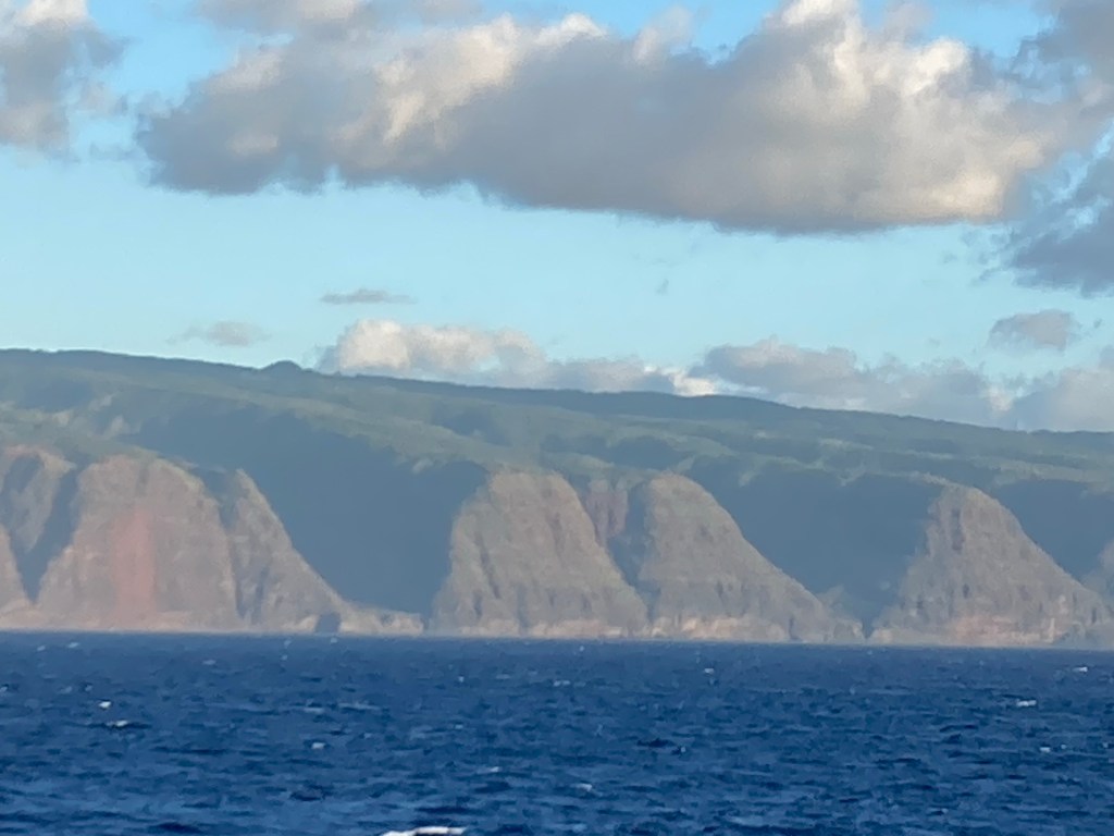
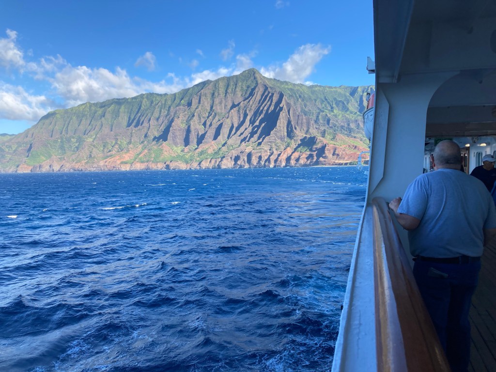
The last half of the coast makes a gradual bend from the north shore to the west shore and is distinguished by a series of softly rounded parallel bluffs separated by sharp clefts with the whole lot running deep into the interior. The Palis terminate abruptly at Polihale, their majesty transformed into a sandy beach of epic proportions. The Hawaiians believed that it was from Polihale that spirits departed this world for the next. Whether you buy into that belief or not, I can tell you from prior visits that it is indeed a very special place. One that will most certainly touch you in some way. If you find your way to Kauai, I hope you will find the time to visit it and discover its magic for yourself.
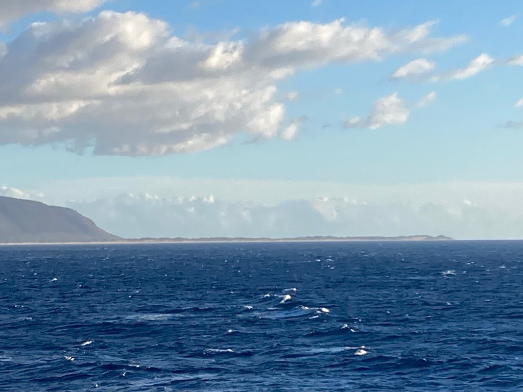
The captain then treated us to an exceptionally rare end to theday: a circumnavigation of Ni’ihau, the Forbidden Island. Although we were losing light quickly, I was able to grab a few pics of (and bragging rights for having seen) this secluded spot.
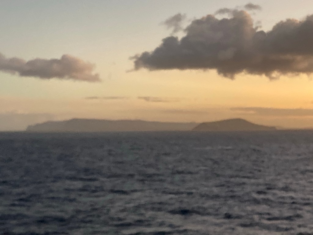
The island is due west of Kauai and was purchased in the early 1800’s from the Hawaiian royal family by an enterprising pioneer, Jack Robertson. The Hawaiian royal family and the Robertson family agreed that change was coming all too encompassingly to Hawaii. Both wanted to preserve the “old ways” so it was decreed KAPU to land on the shores of Ni’ihauuninvited. Today, that rule is still enforced by the Robertson family descendants and the 130 native Hawaiians who continue to call Ni’ihau home.
Again. I must say WOW! What a day! I feel as if the universe made sure I had a Joy-negative day yesterday so that I’d be capable of appreciating everything it threw at me today.
After dinner, I turned in early, setting my clock for early wake up. After seeing so much of Kauai from 1 mile away, I ameager to set foot on it. I’m ready for a hike in the rain forest along a mountain ridge. I’ll save that for another day.
Aloha

Leave a reply to calawilli Cancel reply