THE DOLDRUMS
(I failed to include this in my last post about our sea days):
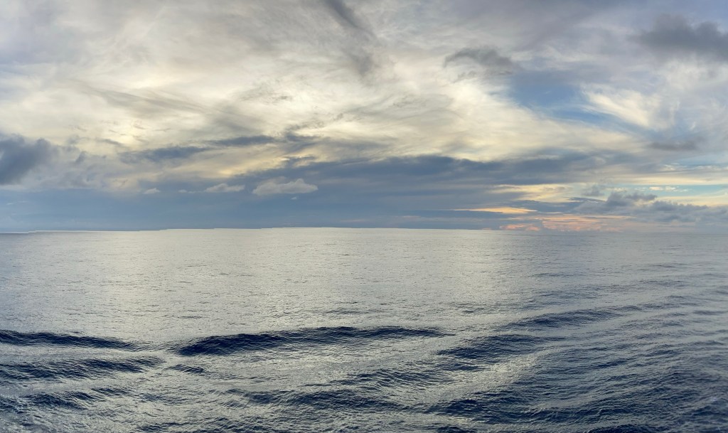
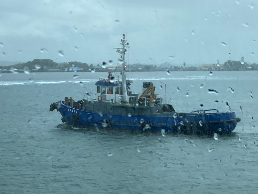
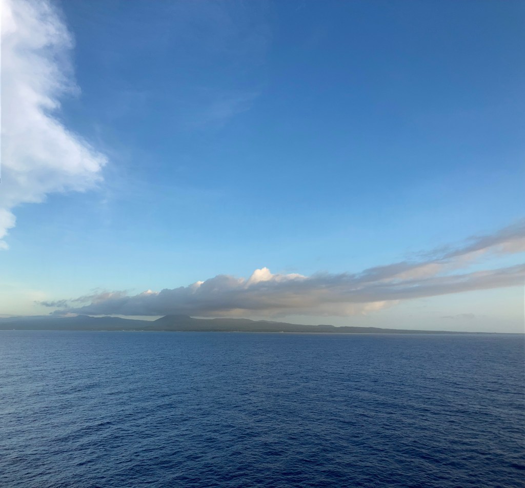
The area 5 degrees north of the Equator to 5 degrees south of the Equator is known as the Doldrums. This is where the clockwise rotation of the North-West Pacific current and the counterclockwise rotation of the South-East Pacific current converge. More alarmingly to anyone dependent upon sail power, it’s also where the northern and southern trade winds converge into total stillness. The result of these two convergences is an astounding phenomenon: a still motionless expanse of ocean, as smooth as glass, as far as the eye can see. The only ripples you see in the photo above are the ship’s wake. I’m glad I got to experience the doldrums; gladder yet that we motored straight through them. It’s definitely a no-go zone for sailboats.
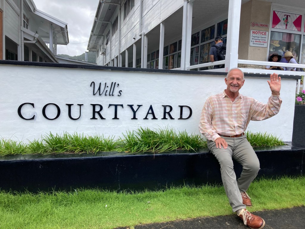
Pago-Pago, Tutuila Island, American Samoa: Oct. 20
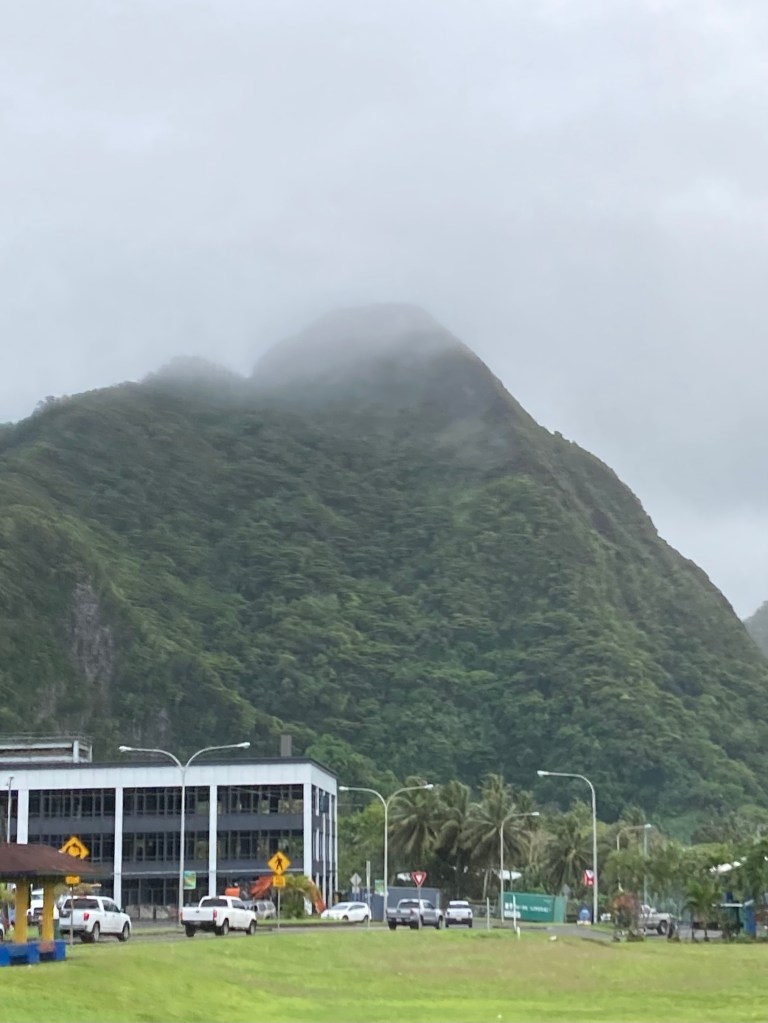
Our first South Pacific port didn’t feel very tropical at all. Instead, it was cool, dim and gray with a tropical moisture cavalcade of mist, light fine rain, pelting fine rain, pelting heavy rain, downpours, and just to rub it in, an occasional patch of blue or glimmer of sun.
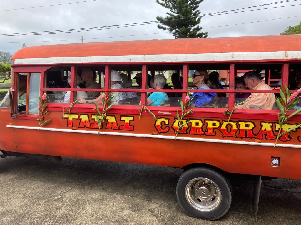
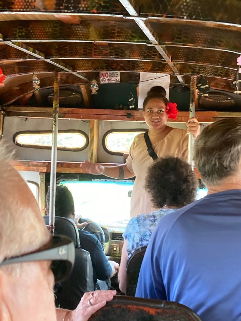
I took a bus tour of the southwest coast where I got to see a lot of how the locals live.
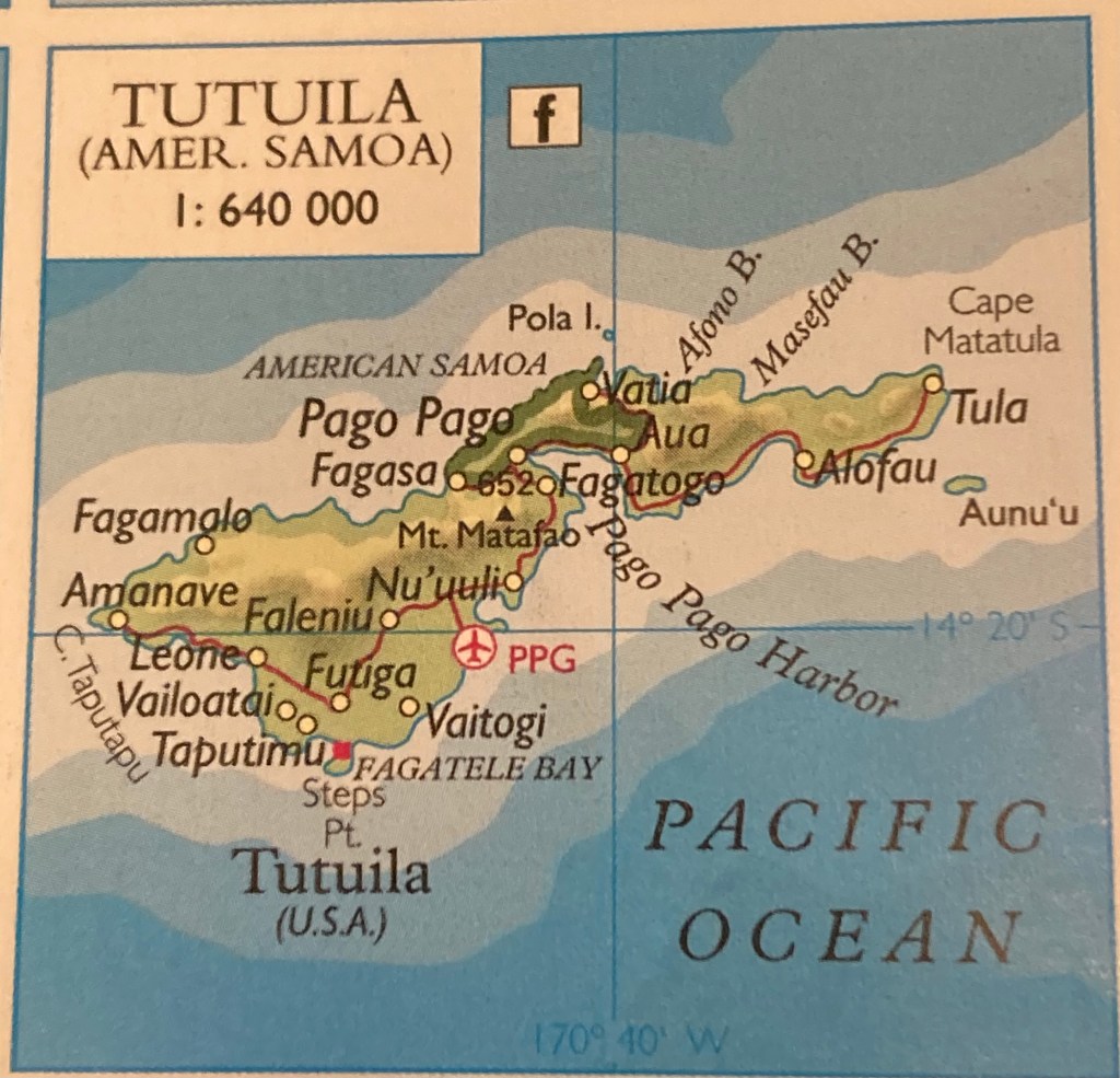
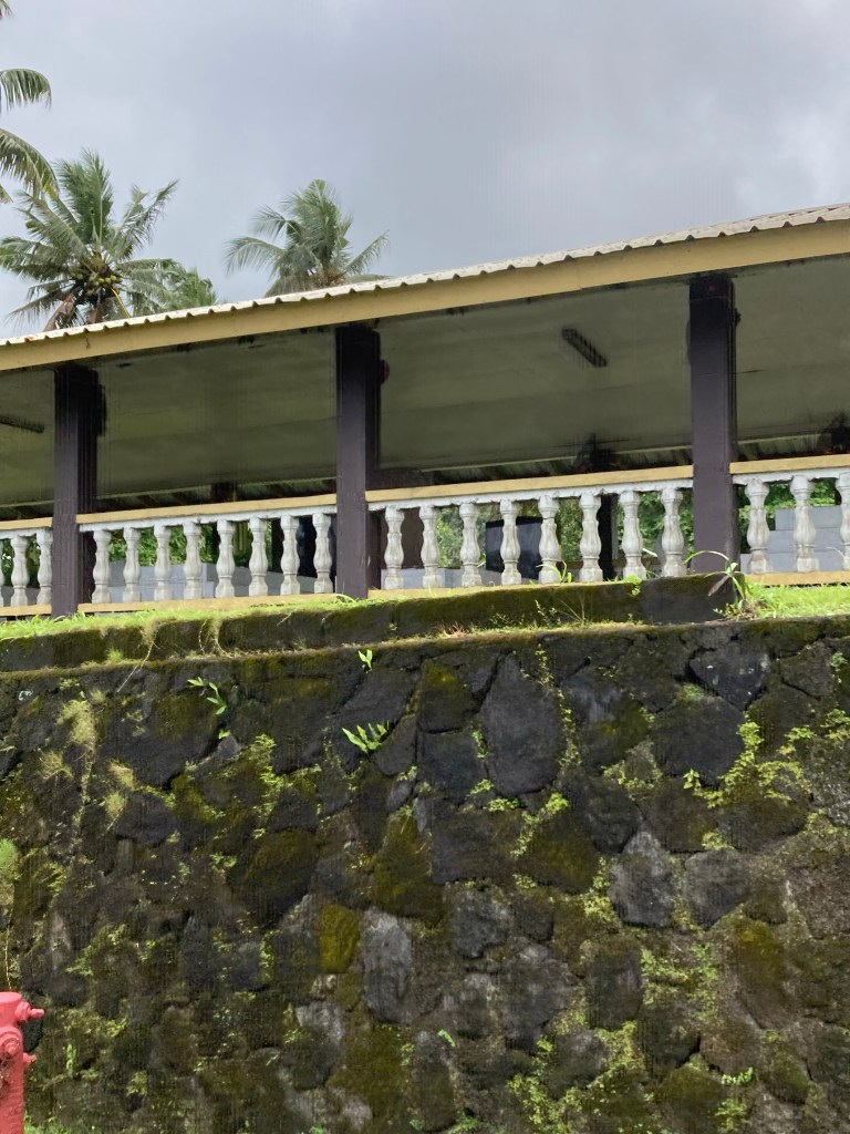
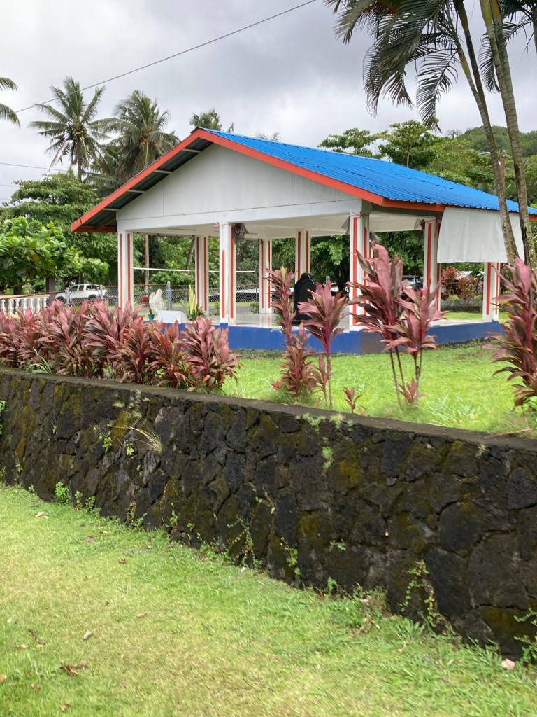
Many homes have free standing structures that we in the US would call an arcade or a covered picnic pavilion. Most are open air, but a few are screened in. A rarer few had been totally closed in using wide floor-to-ceiling jalousie windows. In American Samoa, these are called “guesthouses.” They are used primarily for social gatherings, and I saw several with gatherings taking place. Our guide said that friends and family members do indeed stay in them when visiting, but they usually stay for just a few days!! LOL
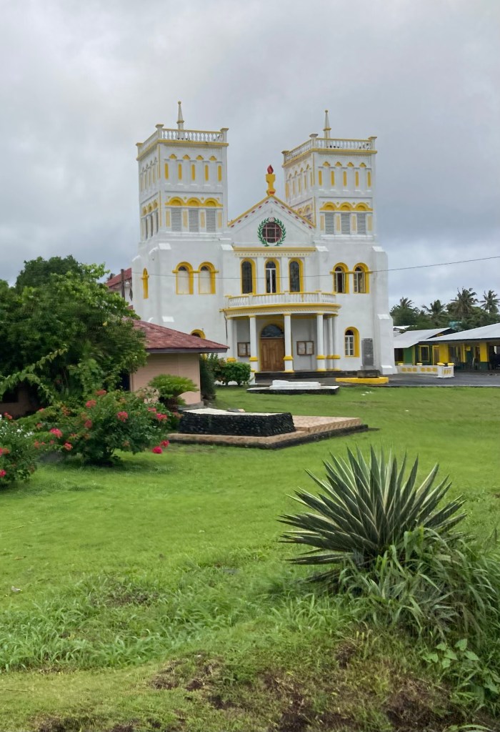
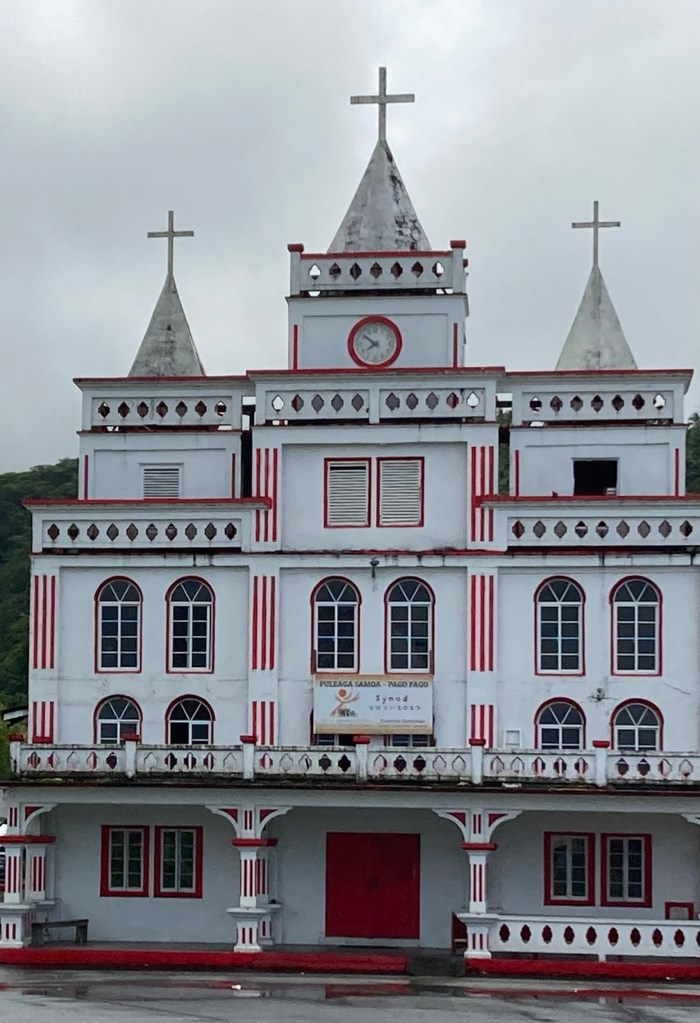
It’s also evident that they spend a lot of time taking care of their churches.
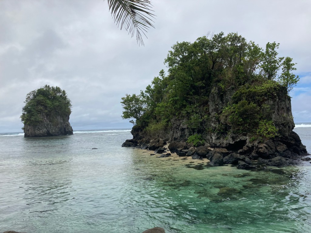
Along the way, we saw many beautiful vistas, some tranquil – like Flower Pot Rocks
– and others quite rugged.
Almost all were foggy.
I returned to the Volendam in time for a quick lunch before heading out again to find an internet spot. The one I found REALLY had my name on it!!
I used my time there to attach photos and transmit the Scenic Cruising post. I also managed to erase the Hilo post which I will get around to finding and transcribing out of my “Deleted Files” at some point.
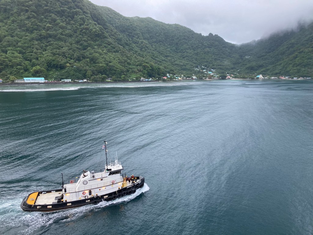
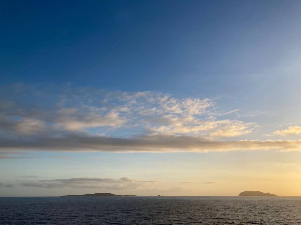
Our sail away benefited from the best weather all day. You can see how deeply Pago Pago Bay cuts into the island’s interior.
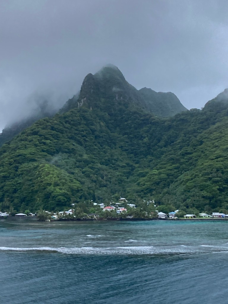
And, with the clouds finally lifting, the ancient volcano caldera on the north side of the bay became visible.
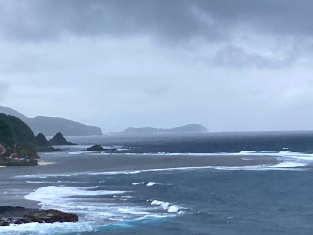
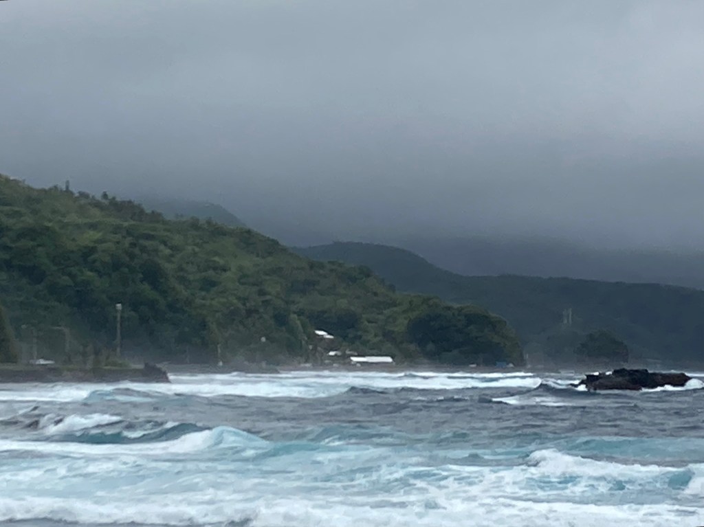
The island’s rough northeastern shoreline and its extensive reef out beyond were buffeted by strong winds, as were we throughout the night.
Bonus: The tour guide today introduced me to a Samoan singer who goes by the name Tree. I love this recording. You can hear so much of the beauty and grace of Polynesia in it.
https://youtu.be/IP-21LdgcTM?feature=shared
A DISAPPEARED DAY
In my prior post on Sea Days, I mentioned crossing the International Date Line. Well, I told a half-truth because we actually crossed it TWICE: once on 10/15 when we entered Kiribati’s waters and again on 10/17 when we exited Kiribati’s waters. Since those two cancelled each other out in 2 days time, and there were no port calls involved, we just stayed on our regular calendar. However, during our stormy night between American Samoa and Western Samoa, we would cross the dateline yet again. This time jumping a day ahead and staying there for 12 days while visiting 7 ports, so we really HAD to get in line with the rest of the world. Therefore, at the end of the day on Friday, October 20 at 12:00 midnight, the day that normally would have begun, Saturday, October 21, simply disappeared. I-phones instantly confirmed it: it had become 12:01 am on Sunday, October 22!! 🤯 I’m still trying to wrap my head around it. Everyone is. Even the captain, and he’s done it many times. But, he assures us that the day did not actually disappear. It’s just an accounting trick performed “off book.” Father Time will give it back to us on November 1 when our day is 48 hours long. 🤯🤯
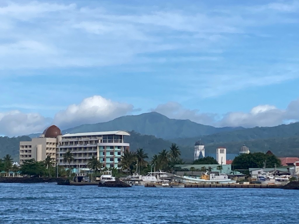
Apia, Upolu, Western Samoa, Oct. 22
We arrived to torrents of rain in Apia, capital of Western Samoa, on Sunday, October 22. Almost everything in Western Samoa is closed on Sundays, so there was little inducement to venture out until noon when the clouds lifted and a beautiful sunny day appeared. I took a cab across town via the waterside streets. Western Samoa is much more populated and far more developed than American Samoa, at least in Apia. Our shore lecturer had said that 85% of the entire population of Western Samoa lives in Apia, and that the balance of the island, which is far, far bigger than American Samoa, is sparsely populated. The downtown area is about twenty blocks wide and five blocks deep and is comprised mostly of stick built one- and two-story retail spaces, restaurants and offices. Several modern multi-story steel and glass buildings are thrown into the mix. One gets a sense that the tuna processing industry has been very, very good for Apia.
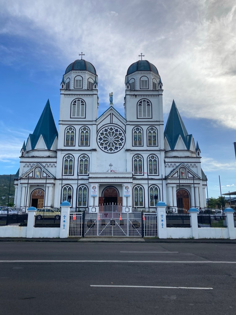
A beautiful Catholic cathedral – also all wood – faces the harbor. I stopped to make photos of it later in the day and was gifted with the sounds of a fine organ and a well-trained choir.
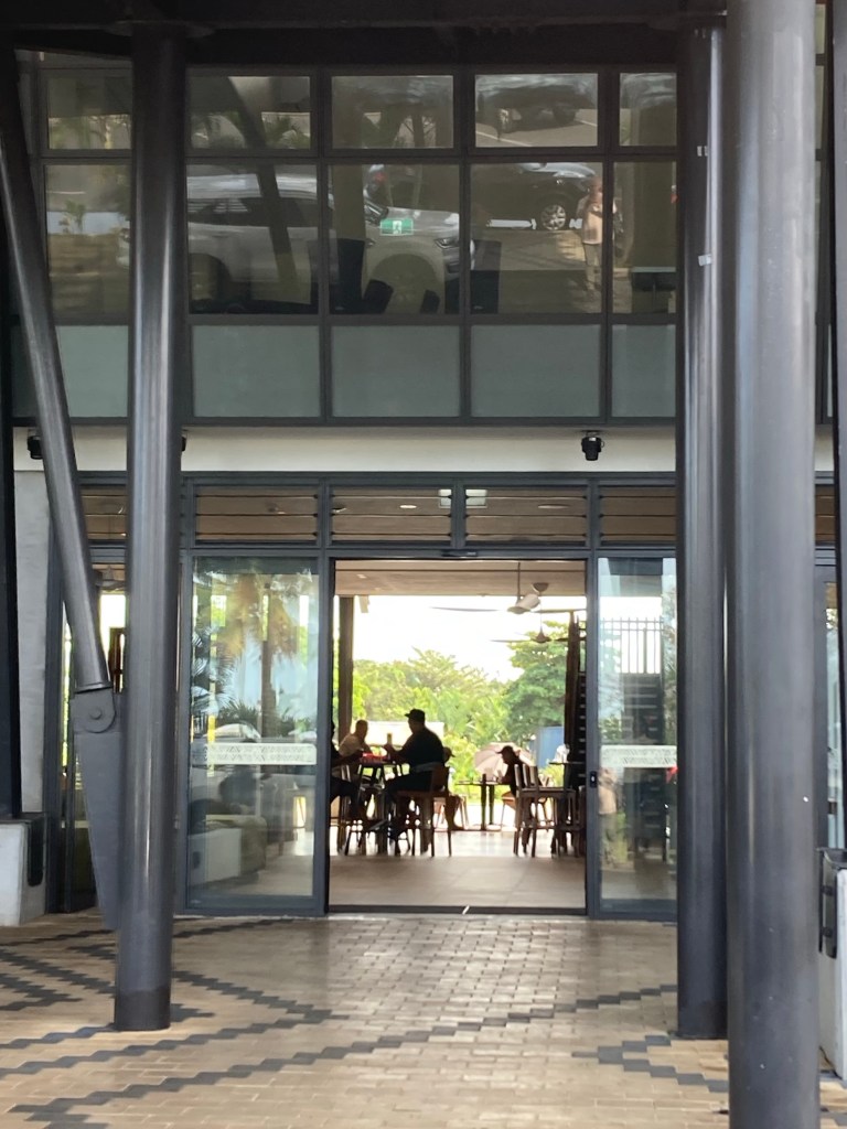
My immediate destination however had not been the cathedral, but the chicest spot in town: the new LAVA Hotel. (How hot is that?)
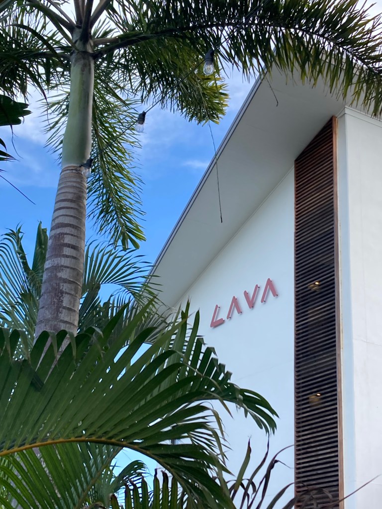
Great design: check
Great restaurant: check.
FREE high speed WiFi: check.
What more could a vagabond want?
How about fresh blue marlin nachos made not with corn chips, but with taro chips, and pineapple salsa seasoned with local micro-peppers that will blow your skull off? Again, and again?
Most certainly!!
Triage involved consuming an ice cold pint of the local craft-brewed mango-infused pale ale.
Once I regrouped from my “heatstroke,” I was able to fire off two posts: Nawiliwili and Honolulu Day 1. Then, it was time to head back to the Volendam.
The day’s end was as exhilarating as its beginning was dismal.
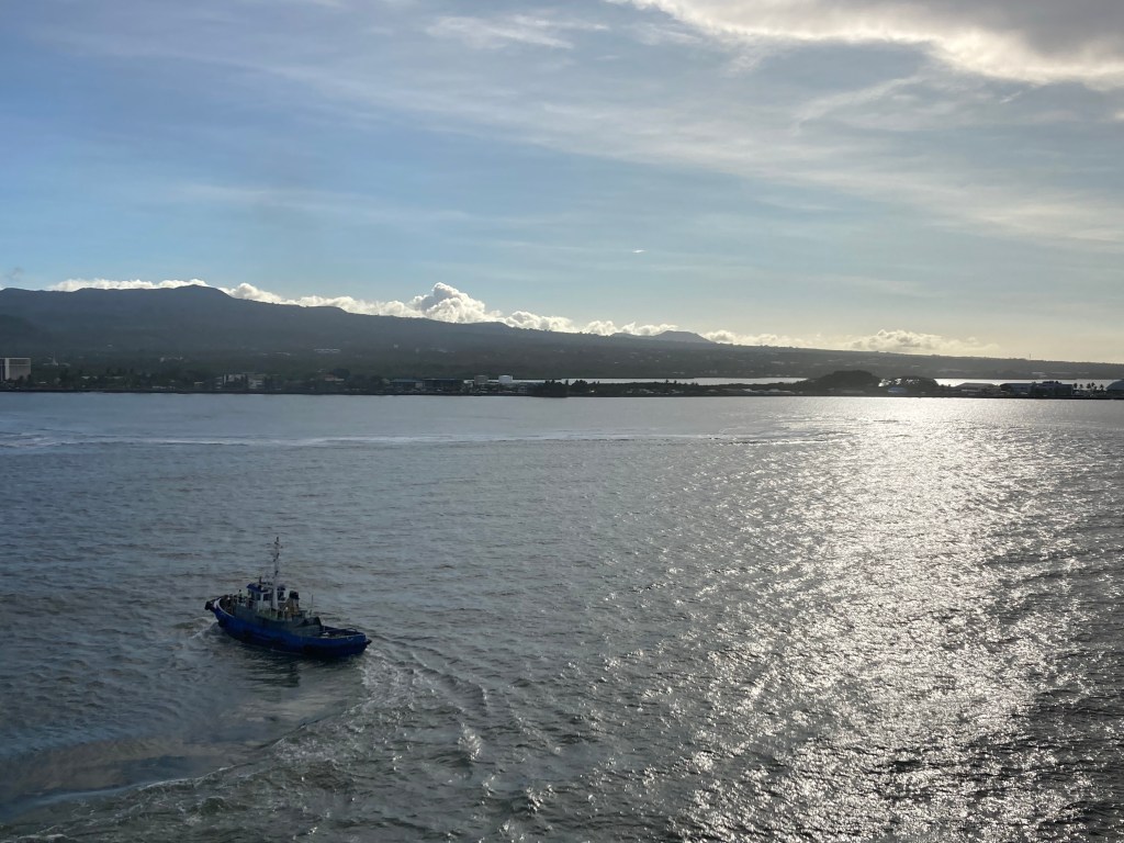
As we sailed out of the harbor, a thin layer of cloud delineated Upolu’s long northern volcanic spine.
We sailed north to its tip, Cape Fatuosofia, enjoying great views back to the island’s undulating ridges and their attendant veils of cloud.
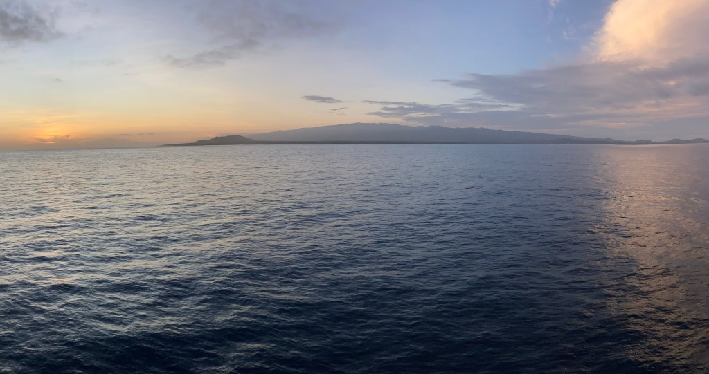
Then, we turned west into the sun in order to thread the Apolima Strait and head onward to Fiji.
Mahalo and Aloha!

Leave a reply to calawilli Cancel reply